gettripholidays@gmail.com View Mobile Number
Duration : 14 Nights / 15 Days
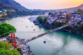
Destination Covered : New Delhi, Haridwar, Rishikesh, Guptakashi, Kedarnath, Rudraprayag, Devprayag, Kedarnath Temple
Tour Activities : Hill Stations & Valleys, Trekking
Tour Themes : Religious & Pilgrimage
Price on Request
New Delhi, Haridwar and Rishikesh Tour Overview
Area: Garhwal Himalayas
Duration: 15 Days (12 days trekking and 3 days travelling)
Best Season: May - October (Except July and August)
Grade: Moderate
Altitude: 4090 mts (Chandrashila Peak)
Total Trekking: 130 K.M
About PanchKedarYatra Trek
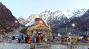
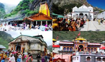
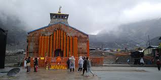
One of the popular spiritual treks in Indian Himalayan region, the PanchKedar Trek stretches from an altitude of 2134 meters, in Urgam, to a height of 3680 meters, in Tungnath. The entire stretch reflects the mythical colours of the Mahabharata where the Pandavas went to the Himalaya to meet Lord Shiva who avoided the meeting due to the GauHatya (Killing Cow) and Brahmahatya committed by the Pandavas. It is believed that in the struggle that followed, parts of Lord Shiva's body that appeared in the form of a bull surfaced at various places in the Himalaya. The forelegs that showed up at Pashupatinath in Nepal, the hump of the bull at Kedarnath, the torso including the navel at Madhyamaheshwar, the arms at Tungnath, the face at Rudranath, and the matted hair at Kalpeshwar, thus forming the PanchKedar in India (excluding Pashupatinath being in Nepal).
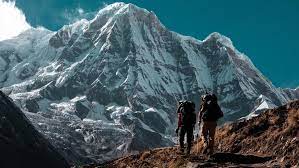
The PanchKedar Trek not only covers the five shrines dedicated to Lord Shiva but also allows you to get acquainted with the remote villages that exhibit an ancient charm. The entire trail from Kalgot to Kedarnathen route to Rudranath, Mandal, Chopta, Gaundhar, Tungnath and Madhyamaheshwar offers immense opportunity to get enamoured by nature of the place which is blessed with the snow capped peaks sequestering the dense forest and lush green meadows rolling down the valleys. Below are the five Kedar and their significance;
PanchKedar Trek Highlights:
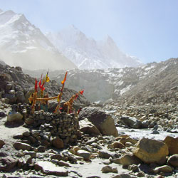
Seek the blessing of Lord Shiva at his five supreme earthly abodes at Kalpeshwar, Rudranath, Tungnath, Kedarnath and Madhya Maheshwar
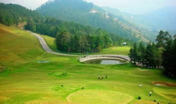
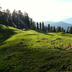
Enjoy the beauty of the high altitude meadows of Rudranath, Panar and Chopta
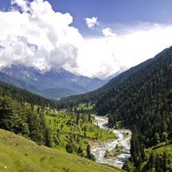
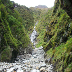
Witness the pleasant scenery that is adorned with blooming flowers, thick forest and streams
Get an opportunity to imbibe in the quaint charm of the remote villages. Interact with their innocent and laborious inhabitants and learn their way of leading a happy life without the modern technologies.
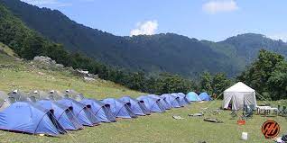
Enjoy camping under the open sky amidst the beautiful landscape.
Best Time to Visit PanchKedar
The best months for PanchKedarYatra are between May and October. All the temples of PanchKedar open only for 6 months, generally from end April to October each year. During the winters the temples are inaccessible due to rainfall and snowfall. In winter, the sanctified symbolic of Lord Shiva in Kedarnath is worshipped at the Omkareshwar temple at Ukhimath, the representative idol of Tungnath is worshipped at Mokumath, the Rudranath symbolic image is brought to Gopeshwar, and the Madhyamaheshwar symbolic idol is venerated at Ukhimath. Only Kalpeshwar is open throughout the year.
Where are PanchKedar?
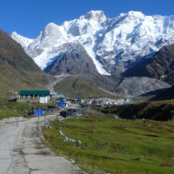
The five temples lie Upper Himalaya region, with the background of snow-covered hill ranges of the Nanda Devi, Chaukhamba, Kedarnath and Neelkanth peaks. Kedarnath is located in the Mandakini River valley while the other shrines are situated in the highlands between the Mandakini valley and the Alaknanda gorge. All the temples are remotely located and except Rudranath, the other four are still not accessible by motorable roads.
The village of Kedarnath is on the edge of Kedarnath mountain slope in a remote northern part of the Garhwal Himalayas. The Dudhganga, Madhuganga, Swargaduari and Saraswathi are the streams that flow in the valley behind the Kedarnath temple. Tungnath has an impressive backdrop of the peaks of Panchachuli, Nanda Devi, Dunagiri, Kedarnath and Bandar Poonch and is situated near Chopta, which is at a short distance from Ukhimath. Kalpeshwar is located in the Urgam valley in a dense forest area. Urgam Valley has apple orchards, terraced fields where potato is grown extensively. Kalp Ganga River, a tributary of the Alaknanda, flows through this valley.
How to Reach?
By Air:The nearest airport for PanchKedar Trek would be Jolly Grant Airport at Dehradun.
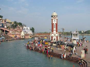
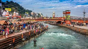
By Rail:The nearest railway station for PanchKedar Trek would be Haridwar and Rishikesh. There are comparatively more trains from Haridwar junction, which is well-connected to major cities in India.
By Road:New Delhi- Haridwar-Rishikesh-Srinagar-Rudraprayag-Pipalkoti – Helang - Kalpeshwar
New Delhi, Haridwar and Rishikesh Tour Itinerary
More Details about New Delhi, Haridwar and Rishikesh Tour
Inclusions
- MAP (Room + Breakfast + Lunch/Dinner)
Payments Terms
- * 20% Advance Percentage of total booking amount
At a Glance
- Group size: Min 02 and Max 12
- 15 Days (12 days trekking and 3 days travelling)
- Max altitude - 4090 metres
- Trek start point: Delhi/Rishikesh/Dehradun
- Fixed Departures: Available
- Accommodation & Meals
- 14 Nights Hotel
- Guest House/Home stay
Cancellation & Refund Policy
- * Upon cancellation, refund will be made after deducting the Retention Amount.
Packages by Theme

